The topography of the site is relatively flat, but generally falls towards the watercourse running through the site. A public right of way dissects the site from north to south. The site has overhead power cables crossing north to south and it is subject to water main and trunk main easements.
To the immediate south of the site is the wider Preston East / Roman Way Employment Area, which is an established employment / commercial location, comprising of large distribution centres (including James Hall & Co Ltd on the opposite side of Bluebell Way), roadside services (petrol station / café), car dealerships, and other employment uses.
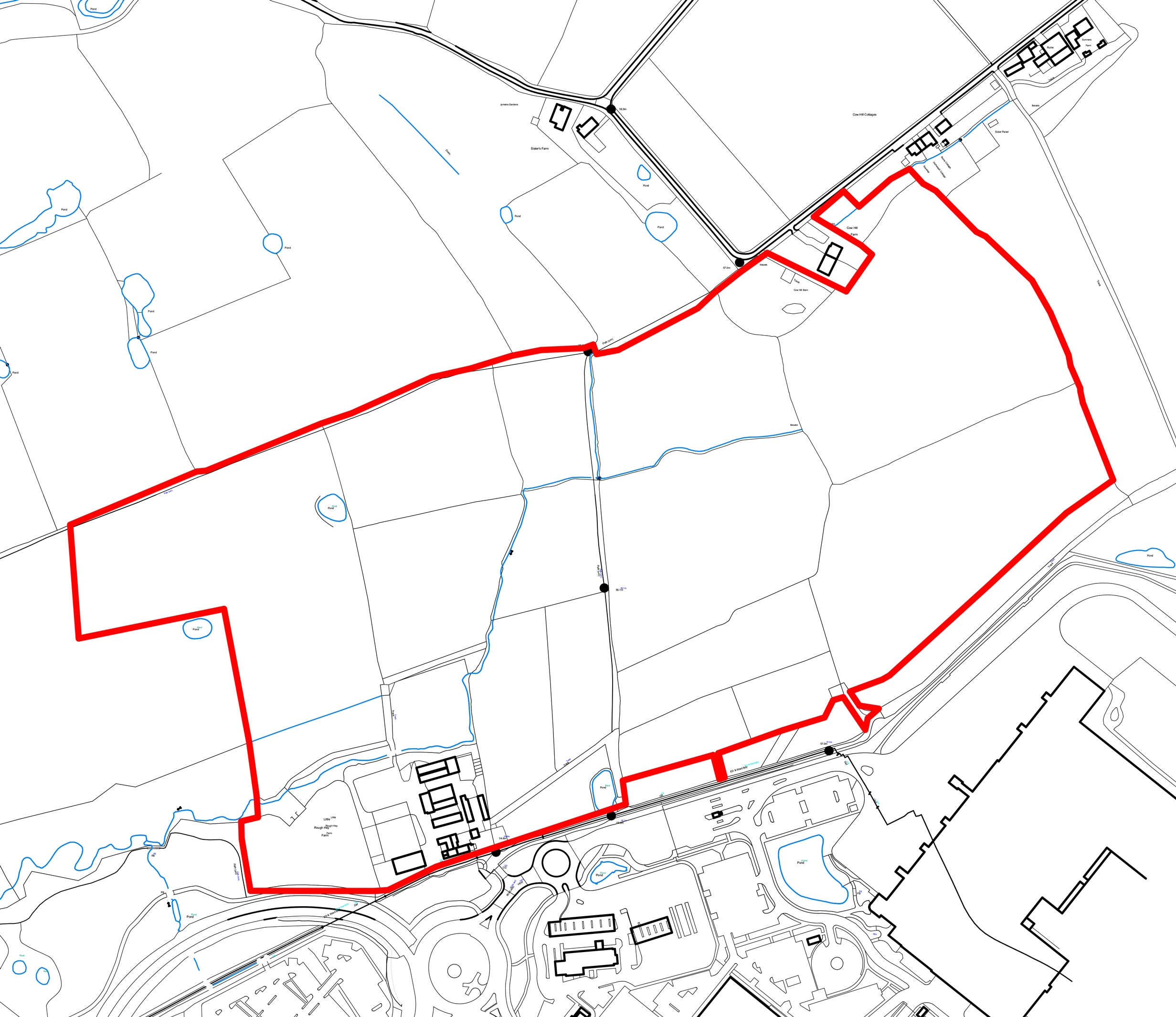
The adopted Preston Local Plan (2015) allocates the site, under Policy EP1.10, for employment development within Use Classes B2 and B8. It is allocated as an expansion of the existing Preston East employment area located to the south of the site.